Some of you might be wondering what is happening with my drawing of
U-1308. The sad truth is, there has been little progress on it over the last six months and there is likely only random progress on the drawing this summer

This is because I started a Master’s Degree in August in the snow and avalanche science discipline.
For my Master’s, I am looking at applications of Real Time Kinematic (RTK) GPS for snow and avalanche path mapping. I am collecting very accurate GPS coordinates of the snow surface and then used our LiDAR data to calculate the snow depths within our avalanche path. The accuracy of the RTK GPS is amazing! I am getting an average vertical precision of 0.021 m with an average horizontal precision of 0.015 m

With the data I am collecting and my conclusions, they will assist with mitigation of avalanche events, determining where these large avalanche events may occur, with calculating the potential damage these avalanche events can have and with the accurate placement of the Remote Avalanche Control System.
I have started to model my data and results in 3D. Thought some people may be interested in what I’m doing, so below are a few early examples of a modelling I am doing. I hoping to start modelling the snow in 3D in a few weeks. I can post additional pictures if people are interested in seeing more.

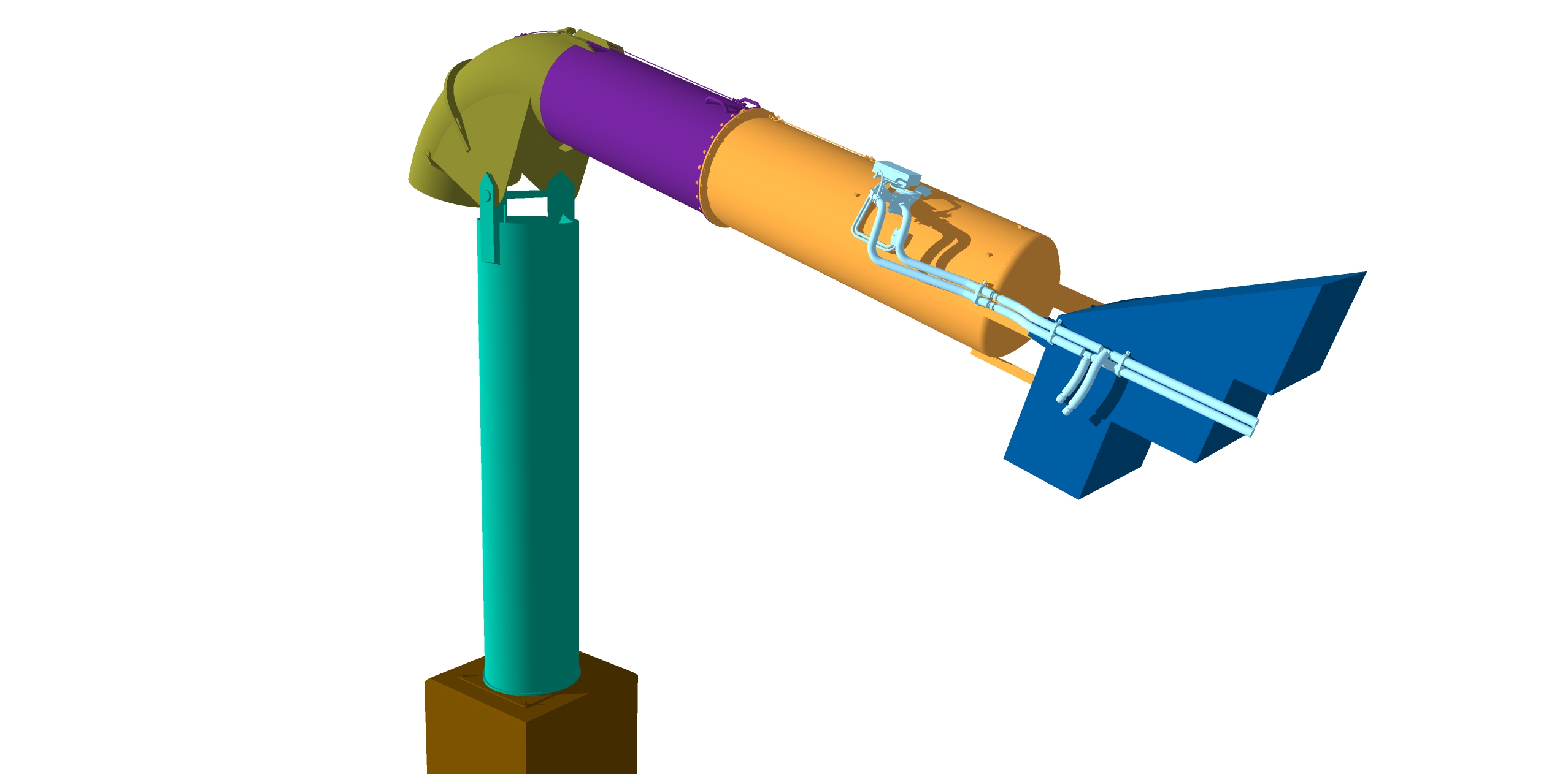
This is a standard 3m³ Gazex Exploder which is used to set off avalanche remotely in any weather condition. They work by filling a chamber with gas and detonating the propane and oxygen mixture. The exploders are connected to a central gas shelter capable of storing sufficient gas reserves for the entire season. The blast causes a huge shock-wave that triggers a avalanche. They are very expensive (about ¼ million dollars each) and are common on ski areas in Europe, not so very common elsewhere. In this model it show all the different components that make up exploder.

The standard 3m³ Gazex Exploder.

In this 3D model, I have modelled the avalanche start zone of one of the avalanche paths in my research area. A 1 metre digital terrain model generated from our LiDAR was used to create the terrain surface. Next, in the model I place three standard 3 m³ Gazex Exploders and one central gas shelter in there proposed positions. A Gazex system will be installed to protect both the infrastructure and a ski lift below this avalanche path. And finally to enhance the model I added some rocky outcrops and shadow effects.